mail_outline sales@mediastorehouse.com
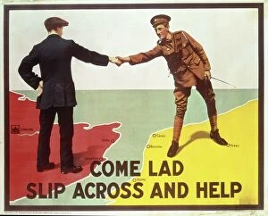
Come Lad, Slip Across and Help, recruiting poster from World War I, pub. by The" Come Lad, Slip Across and Help", recruiting poster from World War I, pub. by The Parliamentary Recruiting Committee, London, 1915 (colour litho)
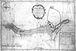
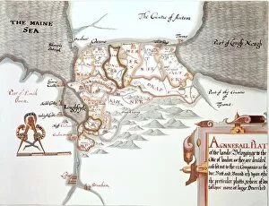
A plan of Cowden Furnace with pond and land in the parish of Cowden in Kent belonging to Mr William Bowen surveyed by John Bowra in 1748
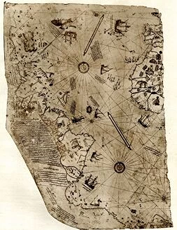
The new world revealed to Islam in 1513. The map of the Atlantic, work of Admiral Piri Reis, the celebrated Turkish cartographer
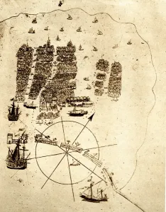
Venice, as a retired Turkish Admiral saw it in the early sixteenth ceuntry: a miniature from Piri Reiss geographical work on the Mediterranean; showing an arsenal with galleys building; the lagoon;
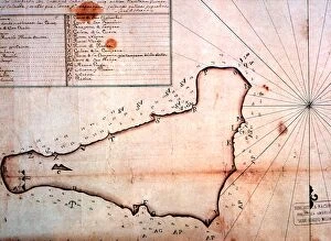
Easter Island - early maps - Lithographic reproductions of 18th century sea charts of Easter Island. Private collection. - © Charles Walker / TopFoto
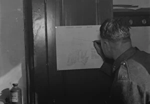
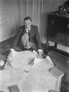
A Royal Engineer soldier drawing survey maps from notes and memory. 1937
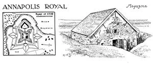
Annapolis Royal - Fort
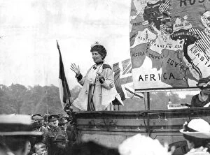
Emmeline Pankhurst, speaking at Hyde Park London - May 1917Emmeline Pankhurst, speaking at Hyde Park, London - May 1917
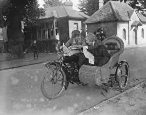
Miss Sybll Arundale and Miss Betty Fairfax out for a motor cycle trip Examining a map
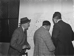
ARP ( Air Raid Precautions ) wardens in Crayford, Kent, looking at maps of the area. 1939
Dr Hugh Percival Wilkins PhD FRAS 1896 - 1960 was a British engineer by profession but most notably known as an amateur astronomer and particularly as a moon mapper
Gilbert: Nat. MSS of Ireland - G. Drury - The lands belonging to the City of LondonGilbert: Nat. MSS of Ireland - G. Drury - " The lands belonging to the City of London as they are divided..... " ?TopFoto